Introduction
Imagine a world where law enforcement can predict criminal behavior before it happens, simply by analyzing geographic patterns. A tool that can dissect the complexities of crime through data and reveal the potential for future incidents is known as geographic profiling. In today’s interconnected, fast-paced society, understanding the geography of crime is not only relevant but essential. This technique has evolved into a cornerstone in crime analysis, equipping investigators with invaluable insights to apprehend criminals more effectively.
This article will delve deep into the domain of geographic profiling, unveiling how location plays a pivotal role in criminal behavior. We will spotlight real-world applications and case studies, providing readers with a comprehensive guide that is both enlightening and engaging.
Understanding Geographic Profiling
What is Geographic Profiling?
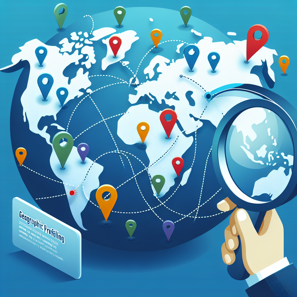
At its core, geographic profiling is a method used to analyze the locations of a series of crimes to determine the likely home or base of operations of a criminal. By examining where crimes occur, investigators can create a geographical profile that identifies potential hotspots and overlaps, leading to a more informed investigative strategy.
The Science Behind It
Spatial Analysis
Geographic profiling employs various statistical and mathematical models to analyze crime scenes. Geographic information systems (GIS) and other mapping technologies are utilized to visualize these data points. By employing spatial analysis, investigators can see patterns that are not immediately obvious.
Behavioral Analysis
Beyond just spatial factors, geographic profiling integrates elements of behavioral analysis. Understanding a criminal’s motivations, patterns, and behaviors allows law enforcement to predict their next move. When combined, these two elements create a powerful tool for crime analysis.
Case Studies: Real-World Applications
1. The "Green River Killer"
One of the most infamous cases in American history, the Green River Killer in Washington state, provides a vital lesson in geographic profiling. In the 1980s, a series of bodies were discovered in the Green River area. Investigators used geographic profiling techniques to narrow down the suspect pool.
Analysis: The killer often targeted vulnerable individuals in specific neighborhoods. By analyzing the geography of these locations, law enforcement was able to hone in on Gary Ridgway, ultimately leading to his confession and conviction.
2. The Washington, D.C. Sniper Attacks
In 2002, a series of sniper attacks in the Washington, D.C. area created a wave of panic. Using geographic profiling, FBI analysts were able to correlate the locations of the shootings with the perpetrators’ possible base of operations.
Analysis: The data revealed patterns in the locations of the attacks, ultimately guiding investigators toward the suspects, John Allen Muhammad and Lee Boyd Malvo. The geographic profiling method was crucial in narrowing down the search area.
3. The Unabomber
Ted Kaczynski, known as the Unabomber, evaded capture for nearly two decades. Investigators employed geographic profiling to analyze his bombing patterns. The analysis suggested that he had likely chosen targets based on previously established geographic patterns.
Analysis: By understanding these patterns, authorities could effectively concentrate their investigations, eventually leading to Kaczynski’s identification and arrest.
Tools and Techniques in Geographic Profiling
Geographic Information Systems (GIS)
GIS is a powerful tool that allows for visual representation of crime data. It enables law enforcement to map out crime incidents and analyze geographic patterns effectively.
Hot Spot Analysis
Hot spot analysis involves identifying areas with a high concentration of crimes to determine where law enforcement should focus their resources. This technique is particularly useful in urban settings where crime can be localized.
Spatial Autocorrelation
This statistical technique is used to measure the degree to which crime incidents are clustered spatially. Understanding these clusters helps analysts identify potential crime trends.
The Benefits of Geographic Profiling
Enhanced Investigative Strategies
By honing in on potential hotspots and geographical patterns, law enforcement can allocate resources more effectively, enhancing their investigative strategies.
Improved Community Safety
Geographic profiling not only aids in solving crimes but also focuses on prevention. Understanding where crime is likely to occur allows for proactive community safety measures.
Cost-Effectiveness
When agencies utilize geographic profiling, they can save time and resources, directing efforts where they are most needed.
Challenges and Limitations
Data Quality
The effectiveness of geographic profiling is heavily reliant on the accuracy of data. Inaccurate or incomplete data can lead to false positives or missed opportunities.
Rapidly Changing Environments
Criminal behavior can change rapidly due to various factors, including community dynamics and law enforcement activities. This can complicate the profiling process.
Ethical Considerations
There are ethical concerns surrounding the use of data in profiling, including issues of privacy and potential biases in analysis. Balancing effective crime prevention with respect for individual rights is essential.
Conclusion
Geographic profiling stands as an innovative method for analyzing crime through location. By uncovering patterns and trends, this approach empowers law enforcement and communities alike to enhance safety and focus resources more strategically. The case studies exemplify how crucial geographic profiling can be in apprehending criminals and preventing future crimes.
Armed with this knowledge, readers can appreciate the profound impact of geographic data in combatting crime. The future of law enforcement may very well depend on our ability to understand and leverage the geography of crime.
FAQs
1. What is the primary purpose of geographic profiling?
The primary purpose is to analyze the spatial patterns of crimes to identify potential locations for a suspect’s residence or base of operations.
2. How does GIS technology enhance geographic profiling?
GIS technology visualizes crime data, helping law enforcement see patterns and correlations more clearly.
3. Can geographic profiling be used in all types of crime?
While it’s most effective for serial crimes, geographic profiling can offer insights in a variety of criminal contexts.
4. What are some ethical concerns surrounding geographic profiling?
Concerns include issues of privacy, the potential for bias in crime analysis, and the risk of disproportionate targeting of certain communities.
5. How can communities benefit from geographic profiling?
Communities can enhance safety by understanding crime patterns and implementing targeted prevention strategies based on geographic data.
In closing, Geographic Profiling: Unveiling Patterns in Crime Through Location represents a significant leap in crime analysis, offering a robust framework for understanding and addressing crime through the lens of geography. By continuing to innovate and refine our approaches, we can create safer communities for all.


